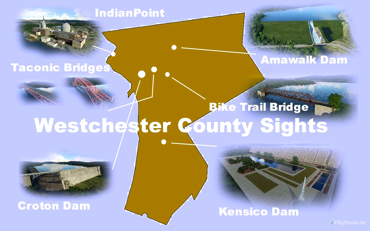
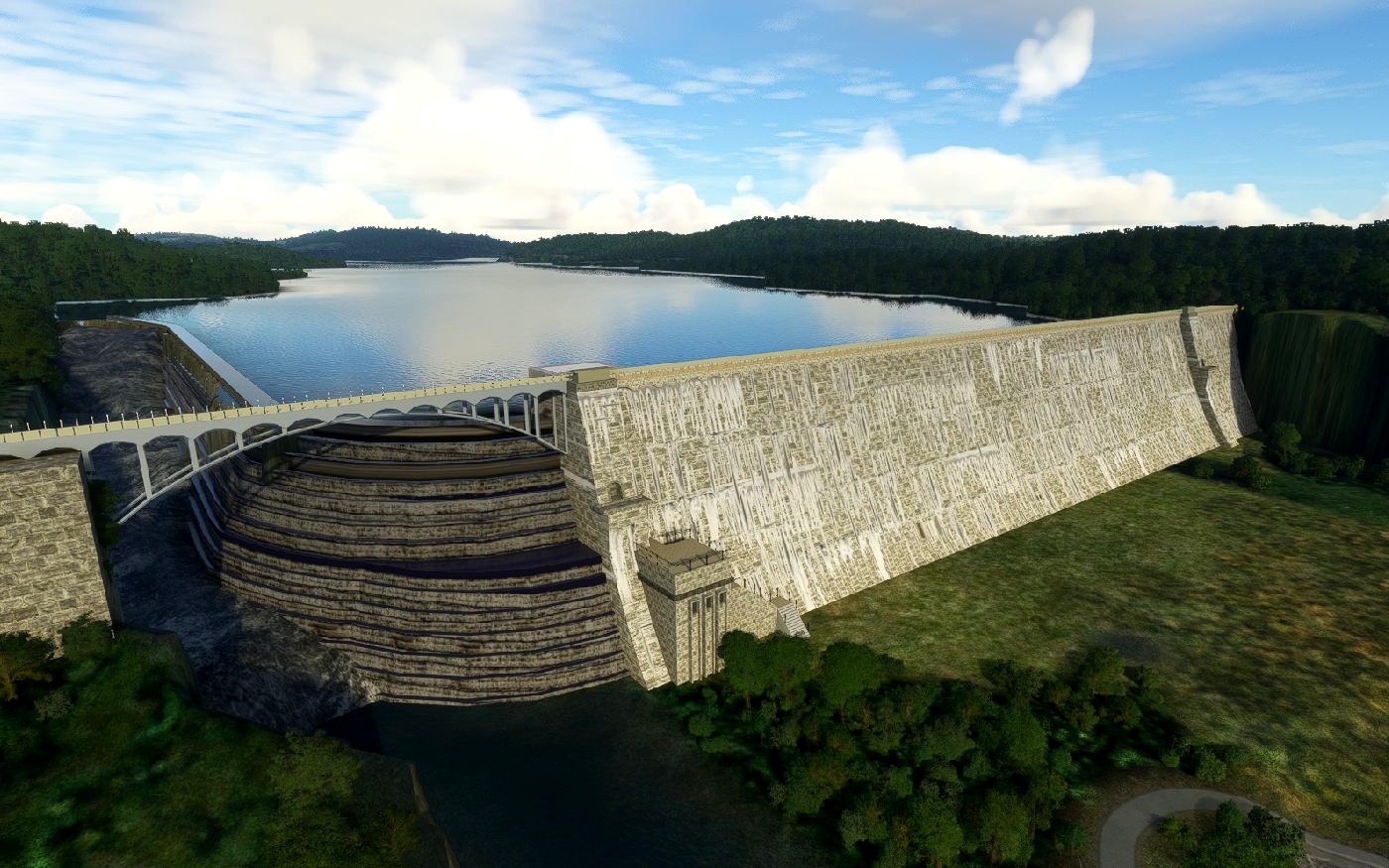
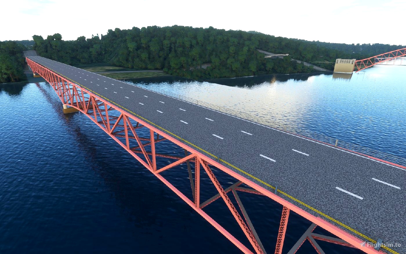
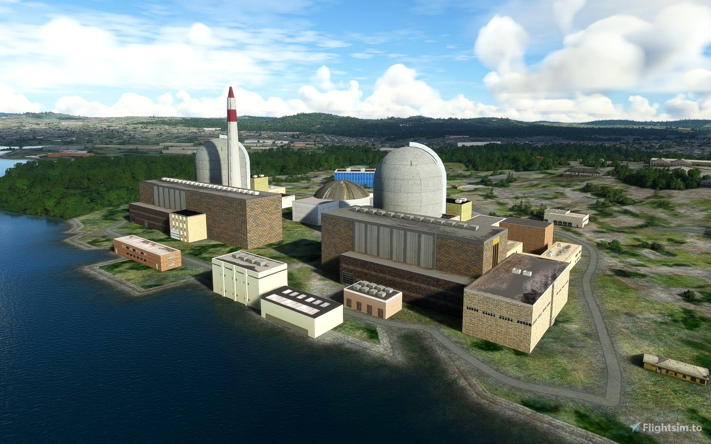
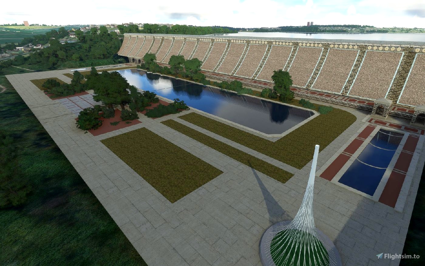
Westchester County, just north of New York City, holds several large water supply reservoirs, a decommissioned nuclear power station and numerous bridges across rivers and reservoirs. It also hosts KHPN, a commercial airport serving several counties in New York and Connecticut.
These scenery models enhance the Westchester flying experience. I hope you like them. They are supplied individually so you can pick and choose which ones you want to drag into your Community Folder. All have multiple LODs for good framerate performance. A Point-of-Interest file is included if you want to use it to make the models show up on your world map.
Technical Notes:
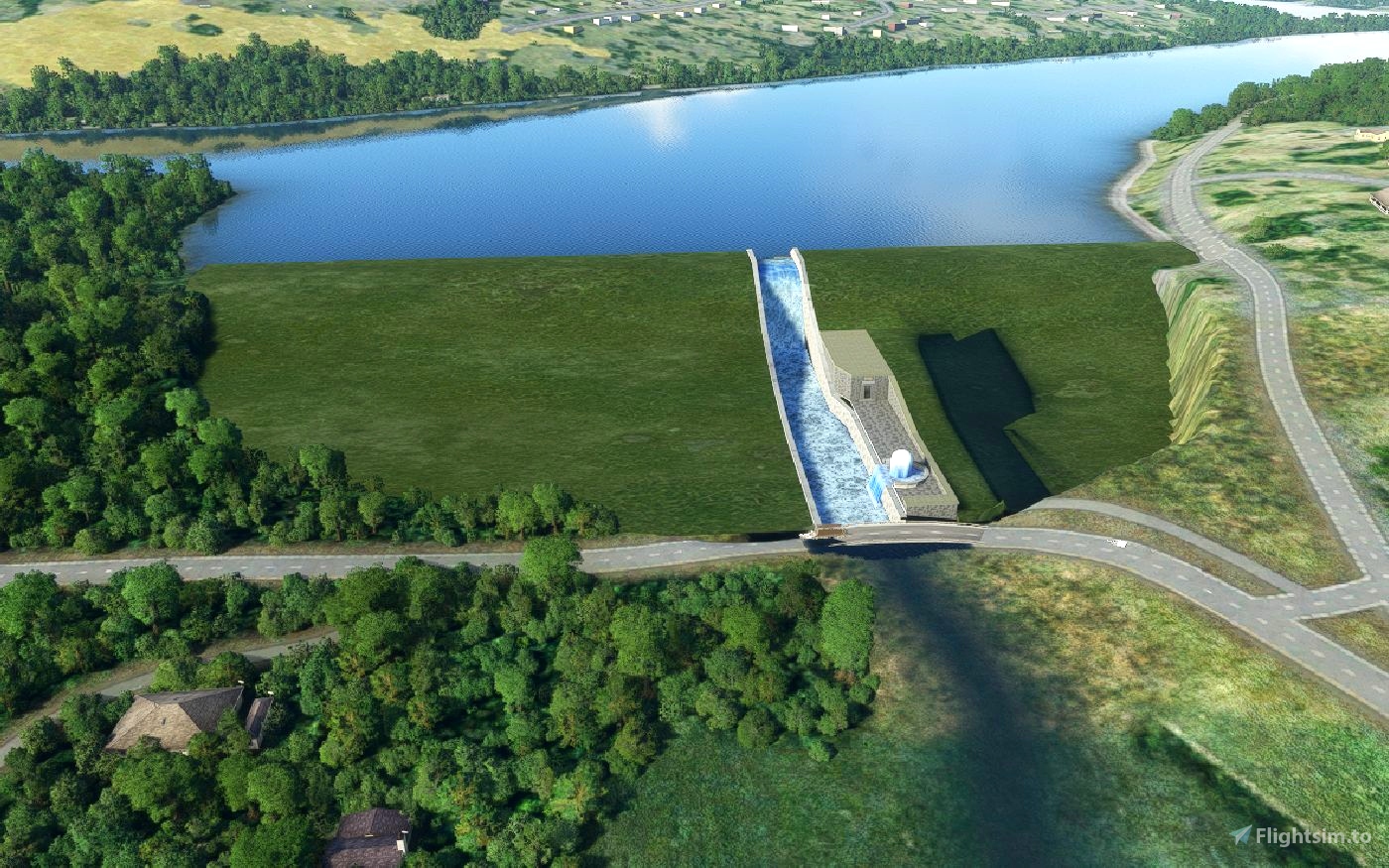
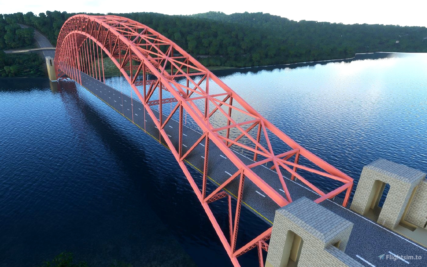
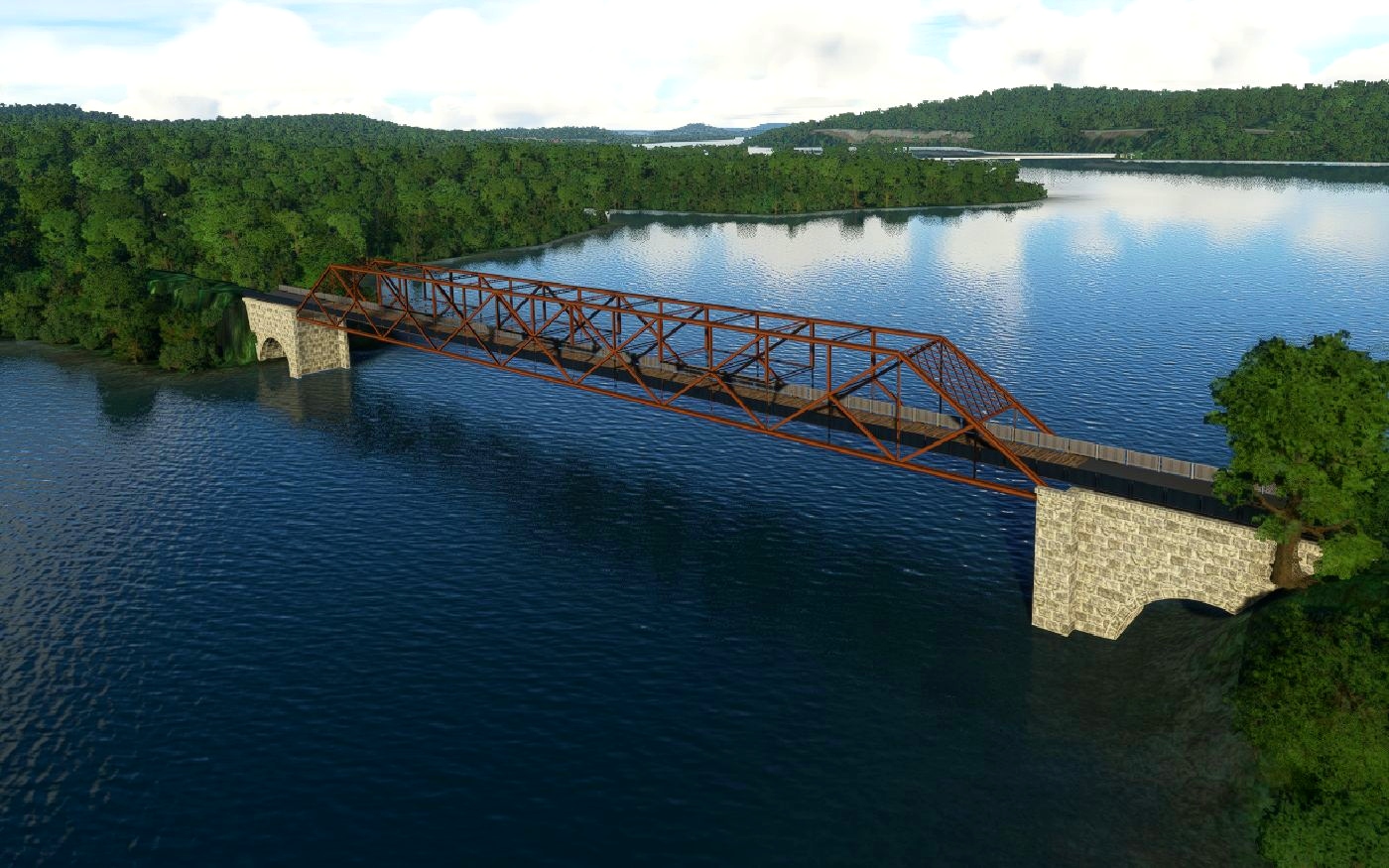
Dams are tricky scenery additions when terraforming is required to suppress the photogrammetry scenery. Some artistic license was required to cover up the ground images, and careful placement of reference datums was required to keep the dams from "jumping up and down" as you approached them. All artwork is original, textures are mostly procedural and others are copyright-free. The water textures used in the Amawalk Dam model are courtesy of pvproductions on Freepik. Cars on bridges are fickle guests; sometimes they follow the roadway - sometimes they don't.
[water] Image by pvproductions on Freepik

 PhysicsTeacher


Actually, I've heard tell that Westchester County is actually considered "Upstate New York"... 😉
Thanks for all your work!
10 months ago
FlyingsCool
Another gem! I've traveled the area many a time and these are spot on. The Teach is single handedly creating a more enjoyable New York flying experience!
1 years ago
Col.F.E.Cochrane
This is great, thanks for your work! When I flew over Indian Point it had the satellite imagery underneath so looked even better than your screen grab!
1 years ago
drebin8
Thank you very much your hard work and dedication are appreciated. I fly in and out of KHPN , live 10 min down the road from Kensico , Fish most of the year at Kensico. I will greatly appreciate this ...Thanks !!!
1 years ago
FDNY39