
Please follow, like & subscribe for updates! Hop on our discord (The FBO) for updates: https://discord.gg/zBGBjFnugq
If you like what I create and want to keep me fueled you can buy me a coffee @ https://www.buymeacoffee.com/FBOStudios
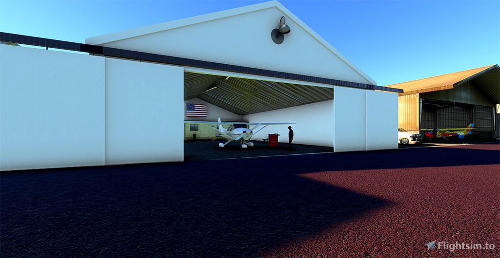
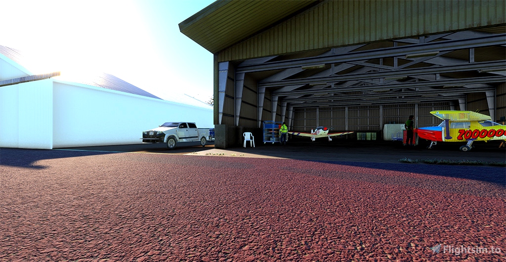
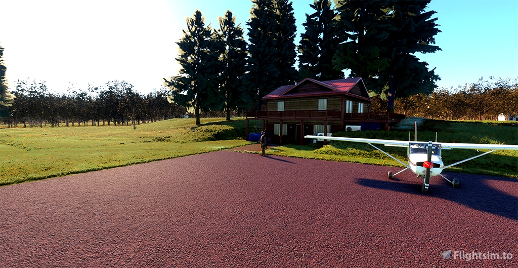
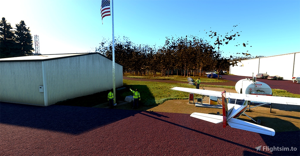
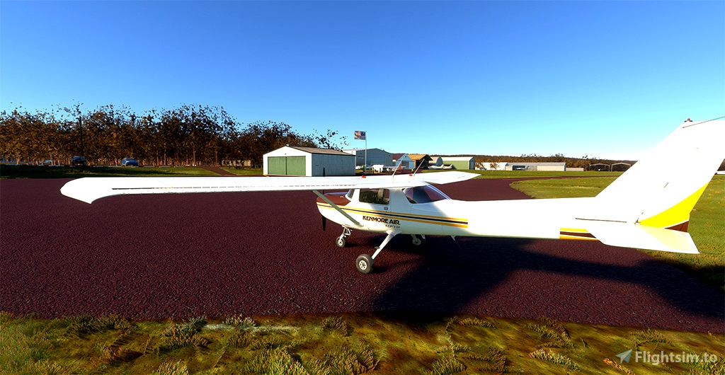
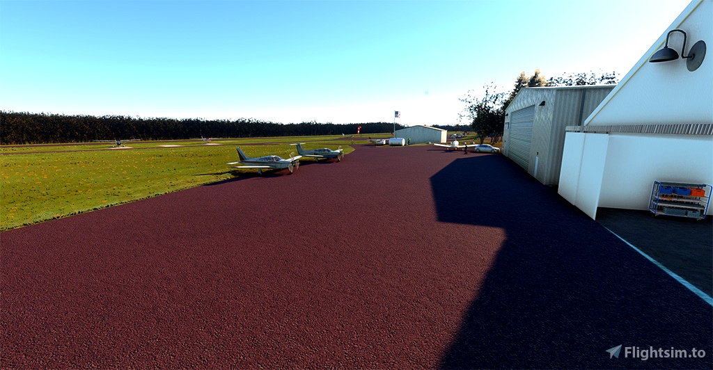
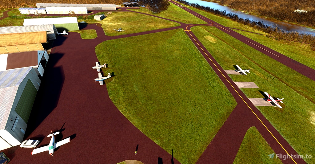
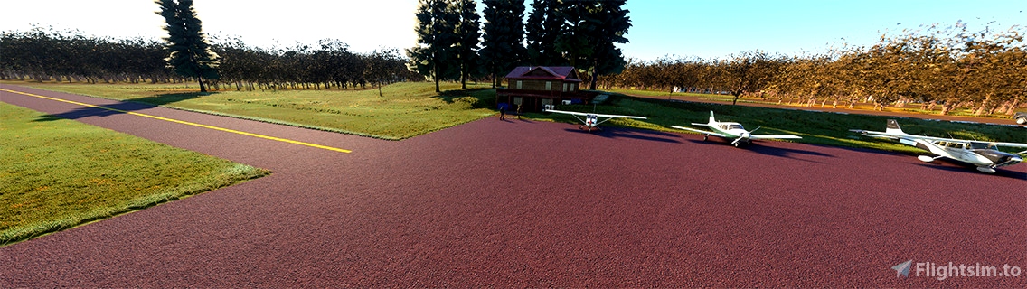
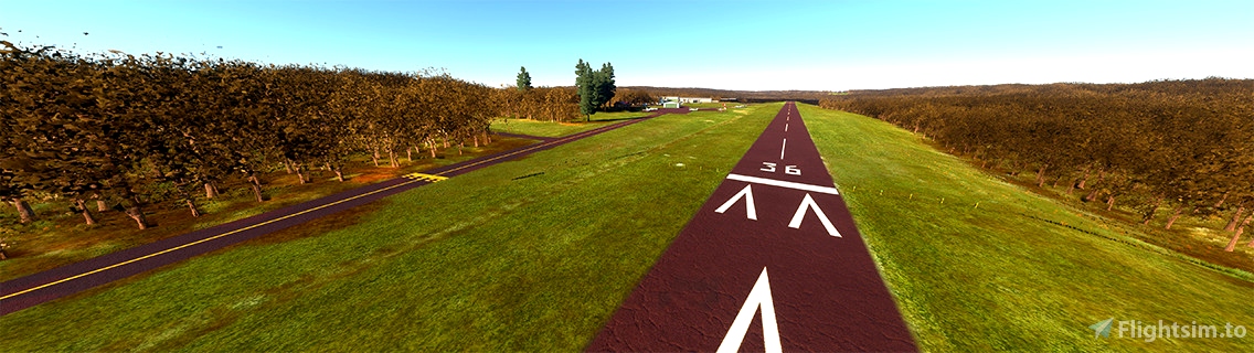
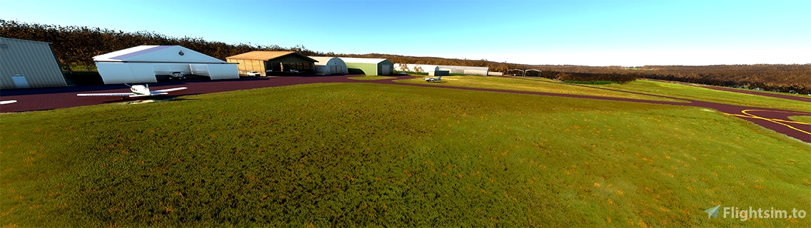
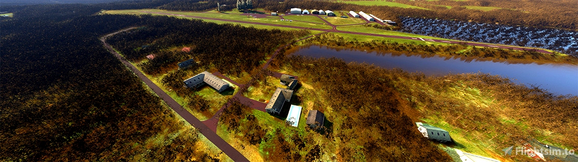
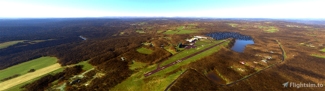
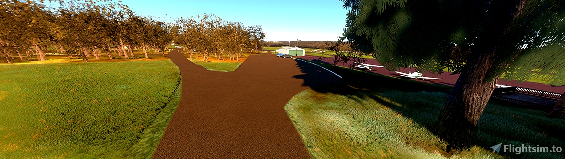
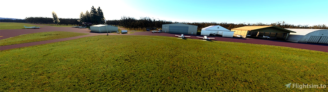
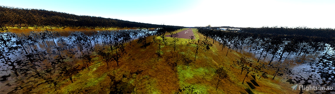
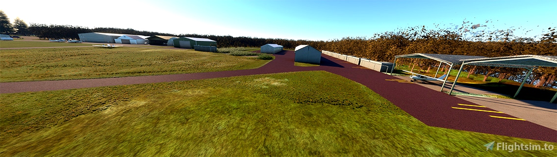
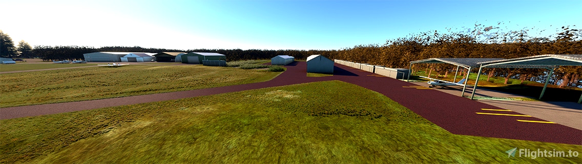
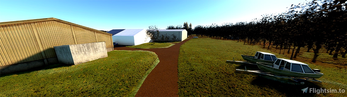
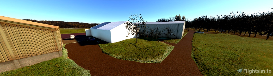
Cherry Ridge Airport (N30) is a privately owned, public use airport located three nautical miles south of the central business district of Honesdale, a borough in Wayne County, Pennsylvania, United States. Created by FBO Studios, we have made this true to life with basic objects and textures. Airport was corrected for elevation, frequencies, terraforming, lighting and vegitation.
This airport was included in the National Plan of Integrated Airport Systems for 2009–2013, which categorized it as a general aviation facility. Cherry Ridge Airport covers an area of 90 acres at an elevation of 1,357 feet above mean sea level. It has one runway designated 18/36 with an asphalt surface measuring 2,986 by 50 feet. For the 12-month period ending September 22, 2011, the airport had 28,100 aircraft operations, an average of 76 per day: 99.6% general aviation and 0.4% air taxi. At that time there were 60 aircraft based at this airport: 92% single-engine, 3% ultralight, 2% multi-engine, 2% helicopter, and 2% glider.

 FBOStudios


2 months ago
2 months ago
FBOStudios
JockoFlocko76