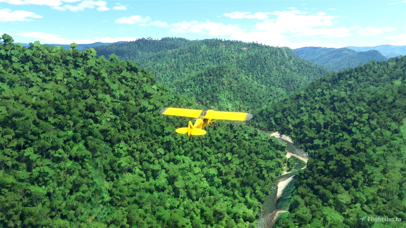
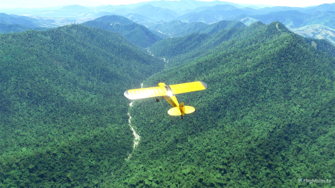
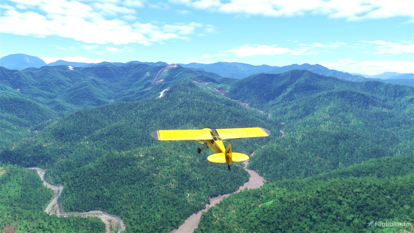
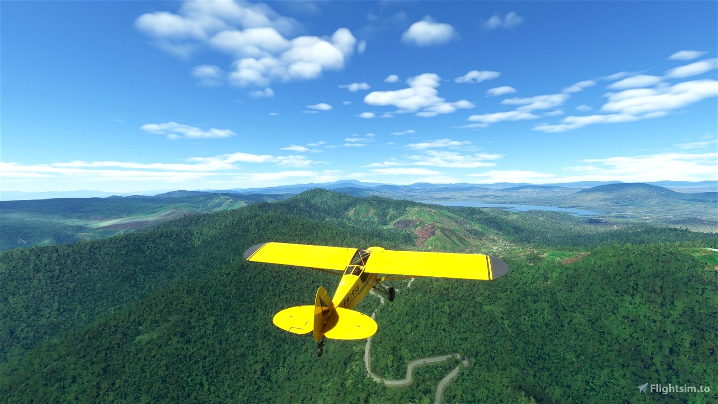
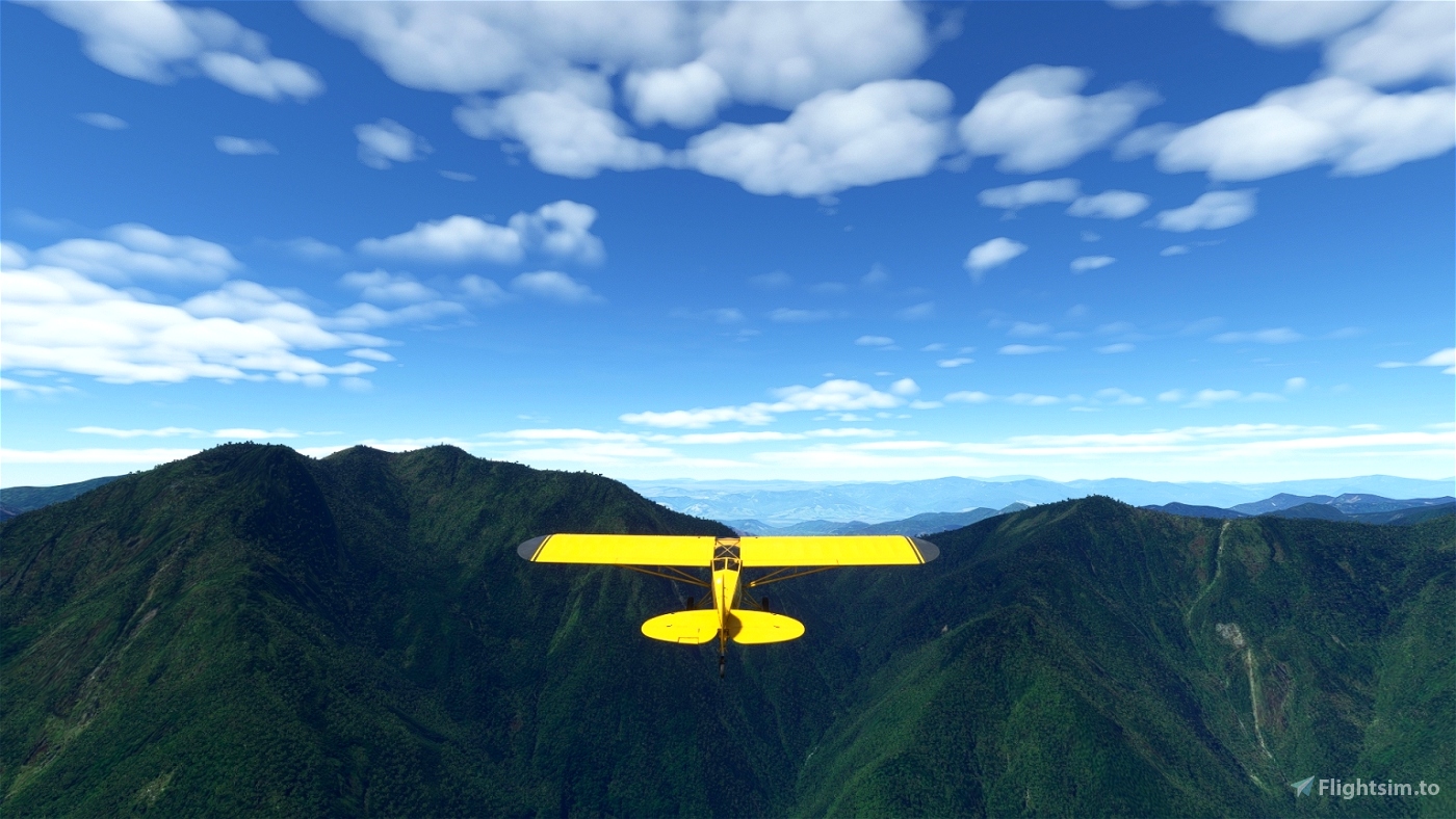
Papua New Guinea, the eastern part of the island of New Guinea, is the ideal place for a bush flight: no big cities, only small villages scattered in the mountains, few roads to guide you, only rivers and valleys, unsure airstrips, often sloping.
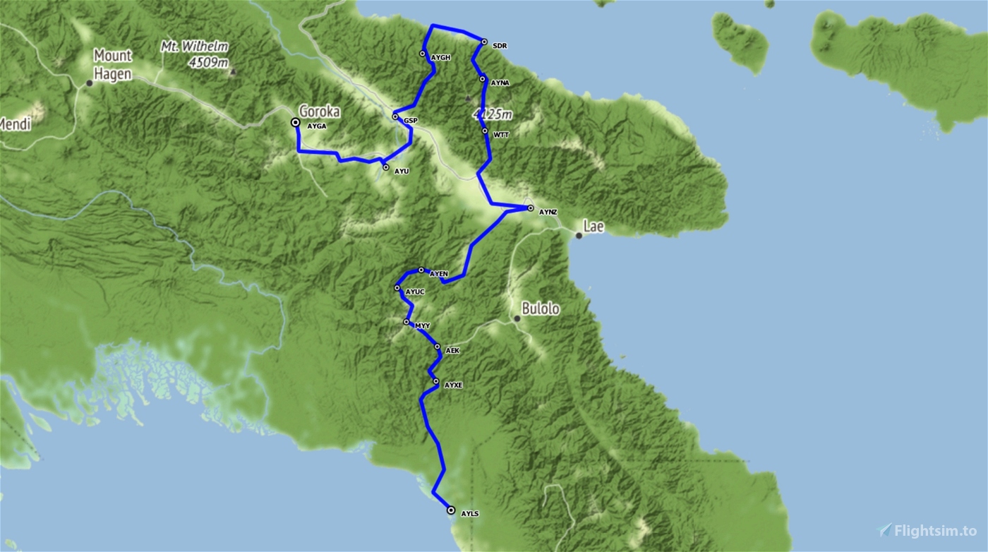
This flight will take you from Lese airstrip to Goroka, in thirteen legs.
The airstrips are generally sloping, so follow the instructions for safe landing.
It will take you about 5h30 to complete this flight.
You will fly on a Savage Cub which is not equipped with GPS; the navigation will sometimes be a bit challenging.
Fortunately, the weather is good: few high clouds and light wind.
For more comfort, you can load the flight plan in Little NavMap and refer to it if needed.
You can also change your aircraft, for example to an XCub.
To do this, edit the file "Papua-BushTrip-Part1.FLT" and replace the line "Sim=Asobo Savage Cub" with "Sim=Asobo XCub".
You will have the GPS, but nevertheless I advise you not to activate the GPS tracking of the autopilot: the best path between two points is not necessarily a straight line.
The autonomy of the Savage Cub is not sufficient to complete this flight. You can refuel at Nadzab airport about halfway.
The MSFS AI tends to place large trees right at the threshold of the runways, which doesn't seem very realistic to me and complicates the landing.
Even if it is not mandatory, the mod "Papua New Guinea airstrip fixes" by Wantok corrects some airports by removing the large trees at the runway threshold.
Available languages are English and French; I have not translated in other language because I am not capable to check the quality of the translation.
A second part is planned. It will lead you from Goroka to Yapsiei airport, near the Indonesian border.
This bush flight was created with the help of BushTripInjector by BuffyGC and Little NavMap by Alexander Barthel.
Thanks to them for these fantastic tools.
Version 1.1:
- Adding translation in almost all MSFS languages. However only English and French are correct. Other languages have been automatically translated and may contain errors.
- Adding airport altitude in the Navlog
- Adding Little Navmap flight plan in the download package.
Version 1.2 :
The World update Antartic/Oceania has changed the ICAO code of some airports.
As some airports are no longer recognized by MSFS, it was not possible to complete some legs.
This update corrects the problem.
The Navlog text has also been revised to make it clearer.


Sorry, but this 84-year-old simmer is having a bit of trouble. Completed the first leg, landed and for the life of me I can't get it to end the leg. Shut down, set parking brake (which doesn't seem to work), but no indication I completed the leg. Started back up, moved to another area and shut down again (did this four times), but still no luck. Frustrating to fly so far and then can't get it to recognize the ending. Thanks so much for this bush trip, though, I really look forward to completing it!!
11 months ago
Sorry about that, but it worked perfectly for me when I tested this flight.
To complete the leg, all you have to do is land on the right runway and stop the plane.
There's no need for a parking brake (there isn't one on the Savage Cub) or to stop the engine.
11 months ago
GlobeDiademe385
mauiguy
Thank you so much to have updated this trip !!
11 months ago
Elandon
What do you mean "Remove the trees" It's no fun if you don't have the trees . LOL
Question tho . On Leg 8 WTT to AYAN At WP 30 , It says "letting Nankina landing strip on your left. " Is that landing strip BCP . If so I think it is on my right NOT left
2 years ago
Hello sparky 147,
Thank you for your comments.
When I say "Remove the trees" I mean only large trees that MSFS places at the threshold of the runway and that are not realistic in my opinion.
Nevertheless, the use of the proposed mod is optional and you can of course fly this bush trip without installing it.
The landings will just be a little more difficult.
Concerning the second point, it's about the landing strip of AYNA, where the leg ends.
You have to fly over the river to the northwest leaving this runway on your left to pass it before turning around to land.
I'm sorry if this is not clear in the NavLog
2 years ago
GlobeDiademe385
sparky147