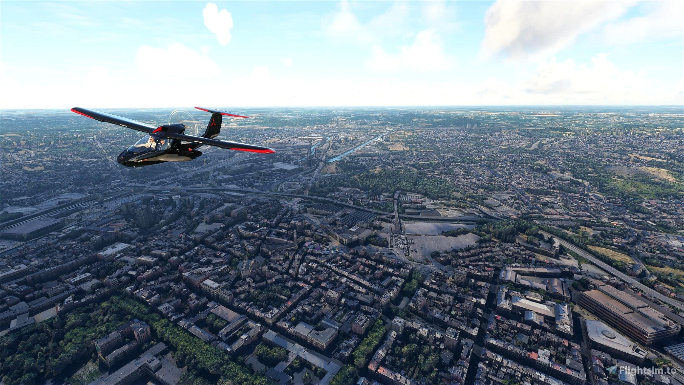
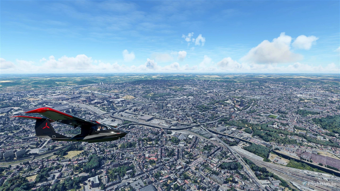
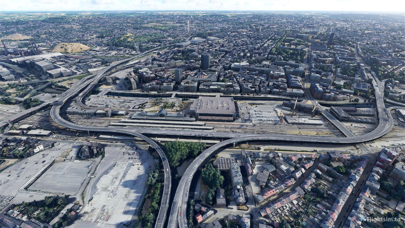

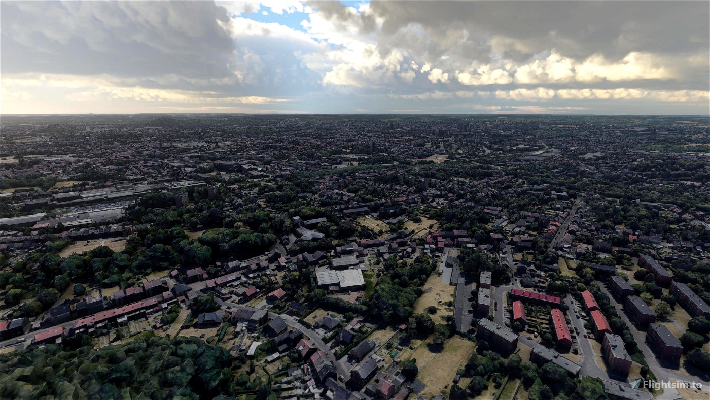
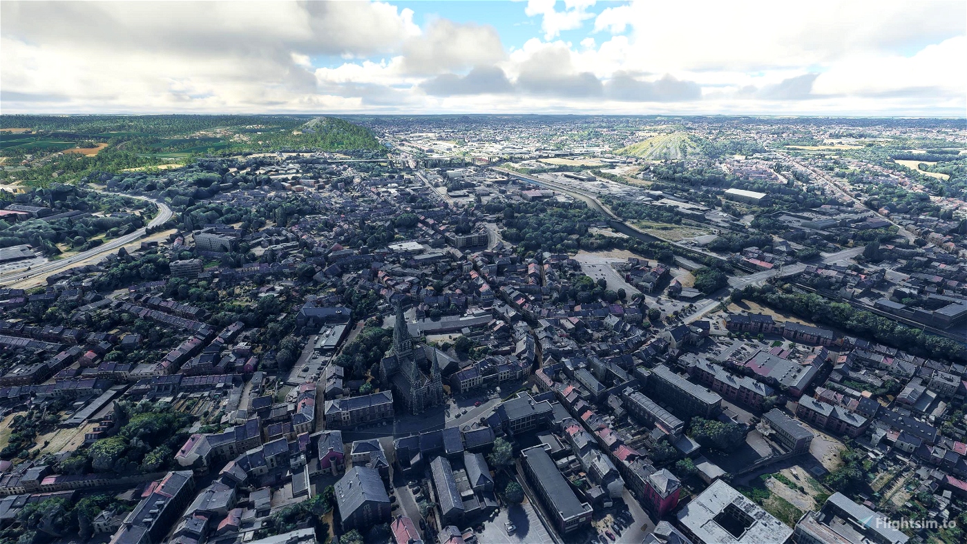
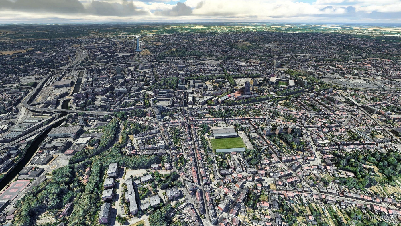
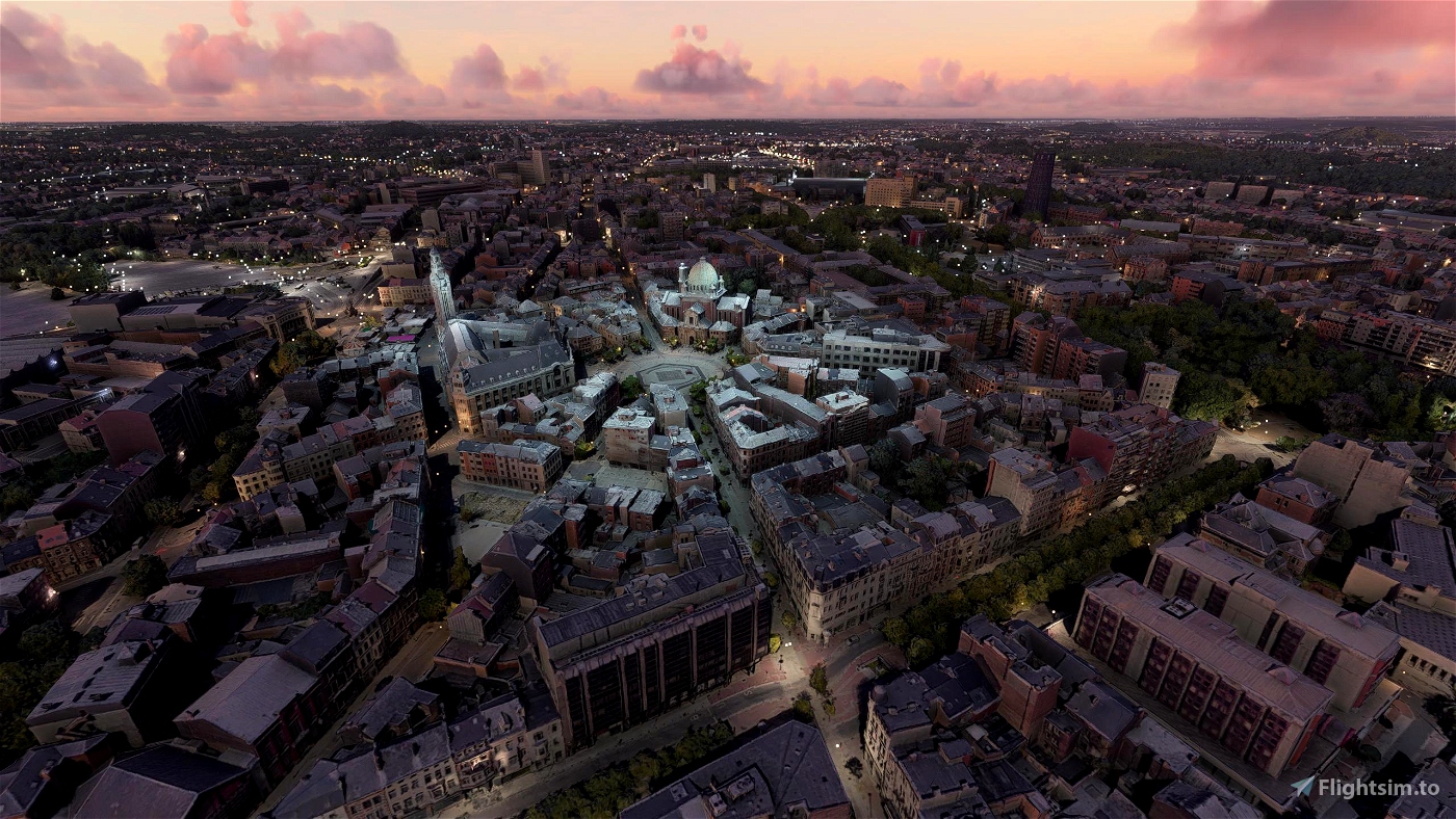
Charleroi is a city and a municipality of Wallonia, located in the province of Hainaut, Belgium. By 1 January 2008, the total population of Charleroi was 201,593. The metropolitan area, including the outer commuter zone, covers an area of 1,462 square kilometres (564 sq mi) with a total population of 522,522 by 1 January 2008, ranking it as the 5th most populous in Belgium after Brussels, Antwerp, Liège, and Ghent. The inhabitants are called Carolorégiens or simply Carolos.
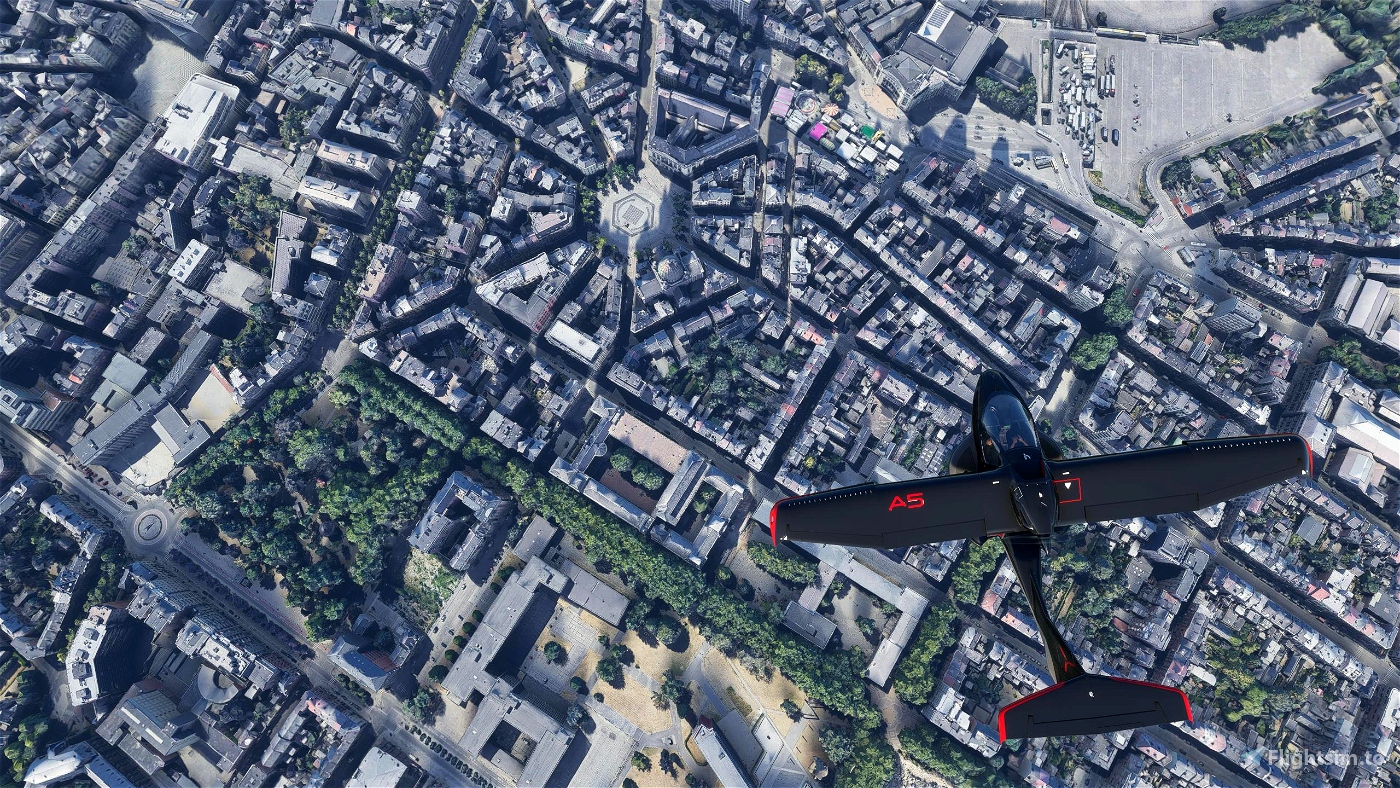
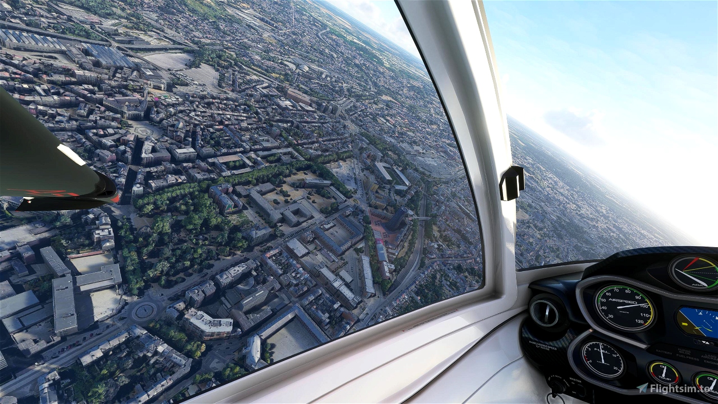
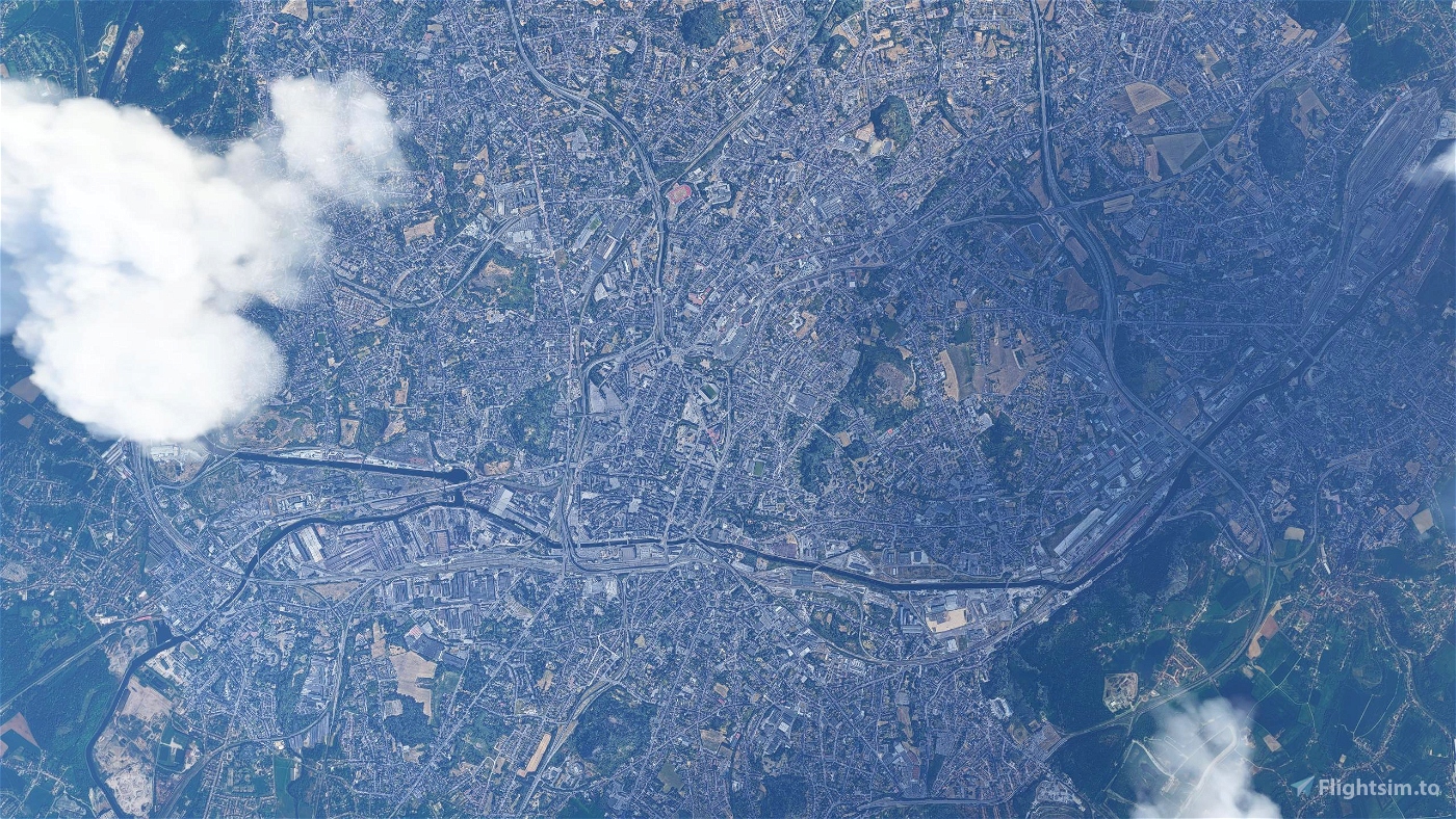
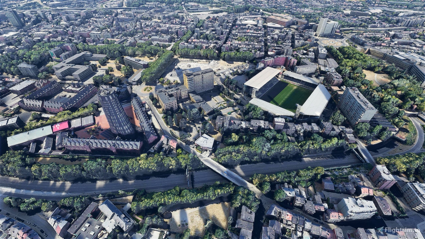
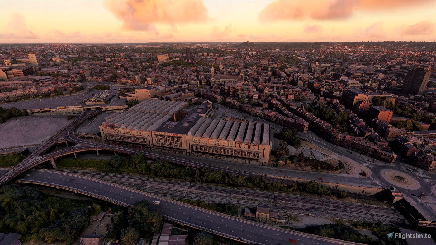
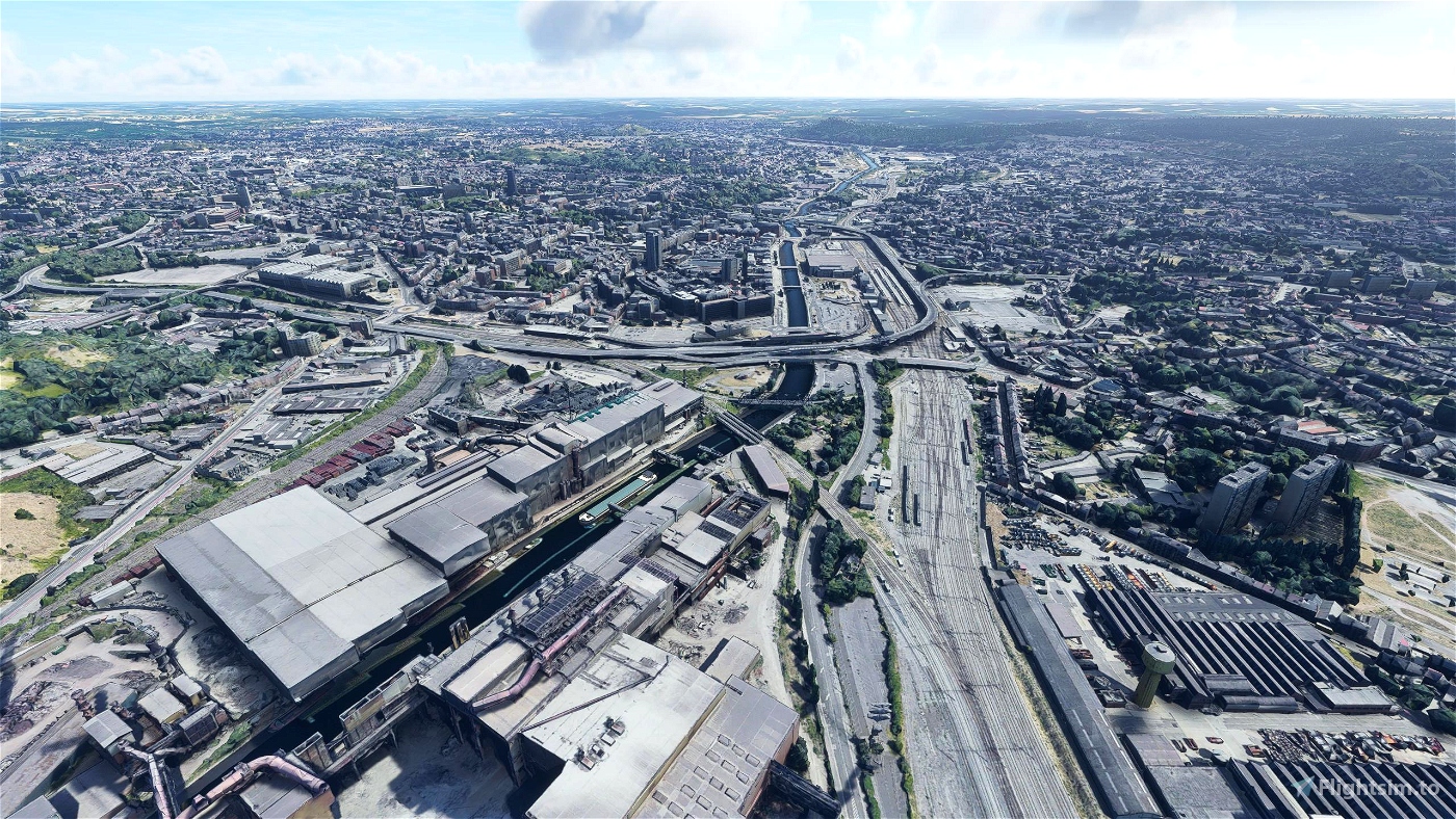
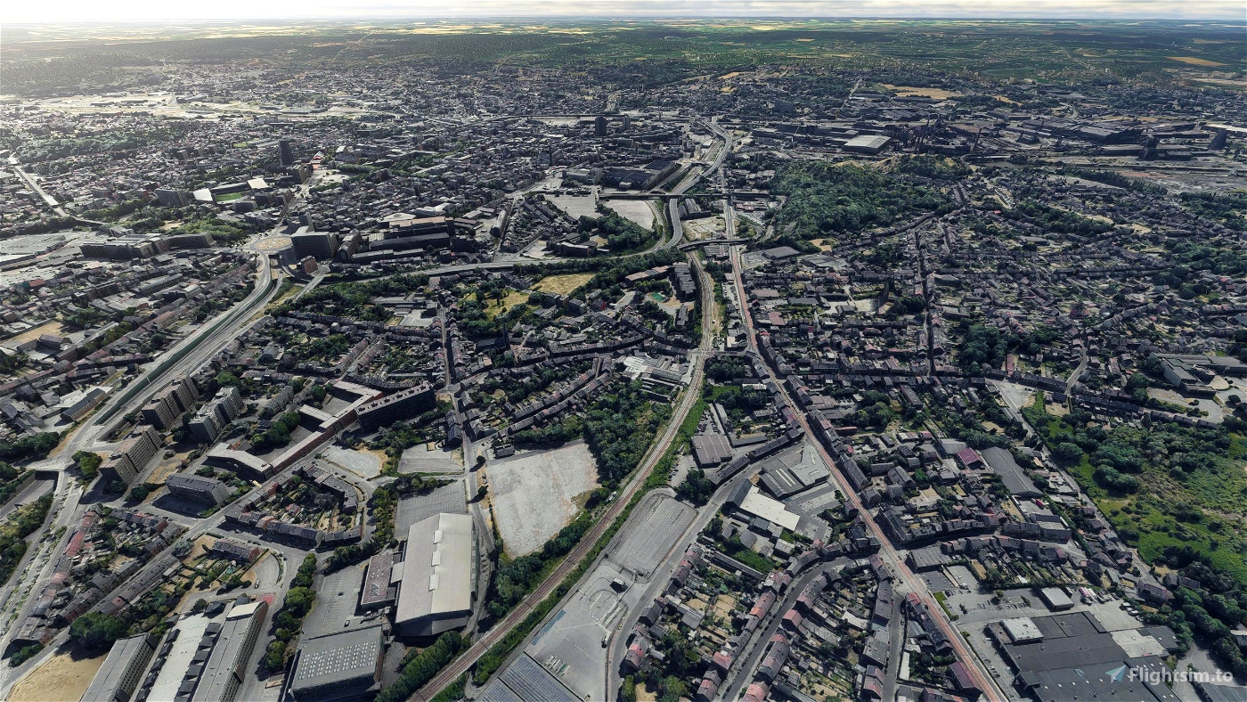
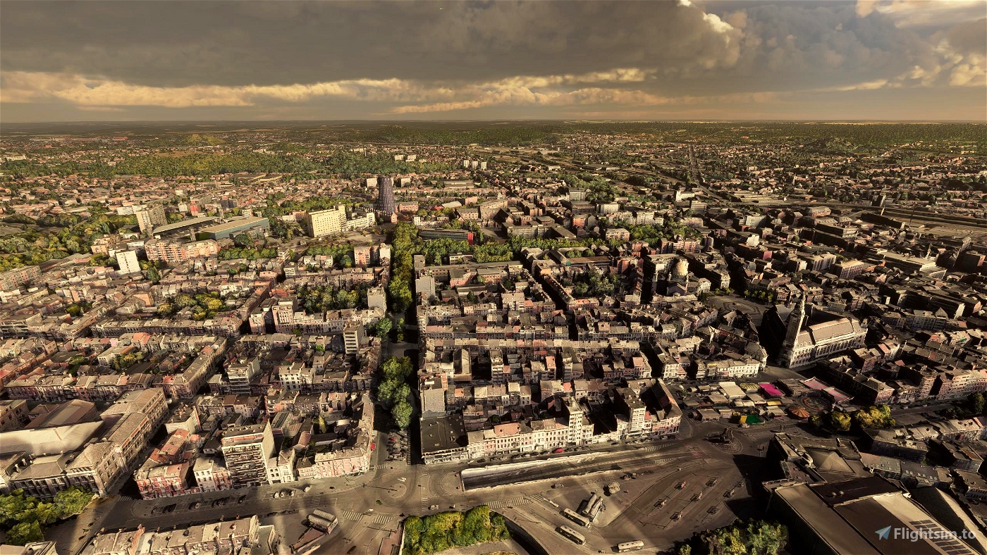
The municipality of Charleroi straddles both banks of the river Sambre in an area marked by industrial activities (coal mining and steel industry), which has been nicknamed the Pays Noir ("Black Country"), part of the larger sillon industriel. Even though most of the factories have closed since the 1950s, the landscape remains dotted with spoil tips and old industrial buildings.
Charleroi lies around 50 kilometres (31 mi) south of Brussels.
GPS: 50° 24′ 0″ N, 4° 26′ 0″ E
Credits:
This scenery has been extracted from Google Maps, hence all 3D credits goes to Google.
This scenery has been generated with the Google Earth Decoder tool (credits to /u/Jonahex111):
https://www.reddit.com/r/FS2020Creation/comments/j3faaj/google_earth_decoder_now_userfriendly/
Addon history:
v1.0: initial release
Installation:
Download both thalixte-charleroi1.zip and thalixte-charleroi2.zip. Extract both thalixte-charleroi1 and thalixte-charleroi2 folders into the Community folder.
If you want to donate, you will always be welcome to help me continue with more projects and update the existing ones https://paypal.me/Thalixte.

 Thalixte


7 months ago
6 months ago
Thalixte
brrgrg
7 months ago
7 months ago
DemoKen
HenryMaer
Bonjour,
La sortie sur flightsim.to de la scène EBCI à Charleroi depuis 2 jours rend incompatible d’utilisation de la scène EBCI et la Photogrametrie de la ville. Il y aurait un problème d’Altitude….
Serait il possible d’adapter la Photogrametrie pour permettre de marier harmonieusement les deux ?
D’autre part la Photogrametrie de la ville s’arrête trop loin de l’aéroport. Ce serait vraiment bien d’intégrer la zone de l’aéroport à l`Interieur de la Photogrametrie, permettant de faire par exemple des tours de piste main gauche et main droite dans un environnement homogène. Une inclusion des entités de Gosselies, Heppignies, Fleurus et Ransart serait vraiment formidable.
D’avance merci 🙏
2 years ago
todorokipm
Bonjour de temps en temps Il n'y a plus de lumiere la nuit sur toute la zone de la scène
2 years ago
PyrrHaX16
3 years ago
3 years ago
Thalixte
vincevdh01
A quand EBLG et EBCI ?
3 years ago
leicar80
3 years ago
cutter
La région de Mons/Borinage existe en 3D en ce compris GOOGLE à St Ghislain et son QR Code pavé dans la cour intérieure... alors... si d'aventure...
3 years ago
Curry52
3 years ago
Alexvorax24
3 years ago
PyrrHaX16
Finally a city of Wallonia well represented.
Google favors the cities of Flanders and the entire Belgian coast in photogrammetry.
Oostende aerodrome has just been completed and it is magnificent.
(also on Flightsim.to)
3 years ago
andes7
3 years ago
pohoryles
Je viens de décoller de EBCI et, sur mon PC, la périphérie de CHARLEROI est littéralement mise à plat. Je parle notamment des communes de JUMET et
COURCELLES qui se situent entre EBCI et la ville de CHARLEROI... de véritables falaises bordent CHARLEROI. J'ai effectué des captures d'écran et je les tiens à ta disposition. Ton travail sur la ville de CHARLEROI est superbe au demeurant... 😉
3 years ago
3 years ago
Thalixte
Curry52
I'am living in Namur and i would like to do the same job for my city ...
Are there any tutorial to learn the tools needed ?
And what are exactly the different steps to create a city ?
Thanks a lot for your answer !
3 years ago
3 years ago
Thalixte
Mic2021
3 years ago
3 years ago
Thalixte
todorokipm