

DELETE - not consistent with Ultralight Sightseeing flight plan series - distance is too long
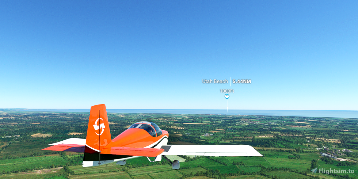
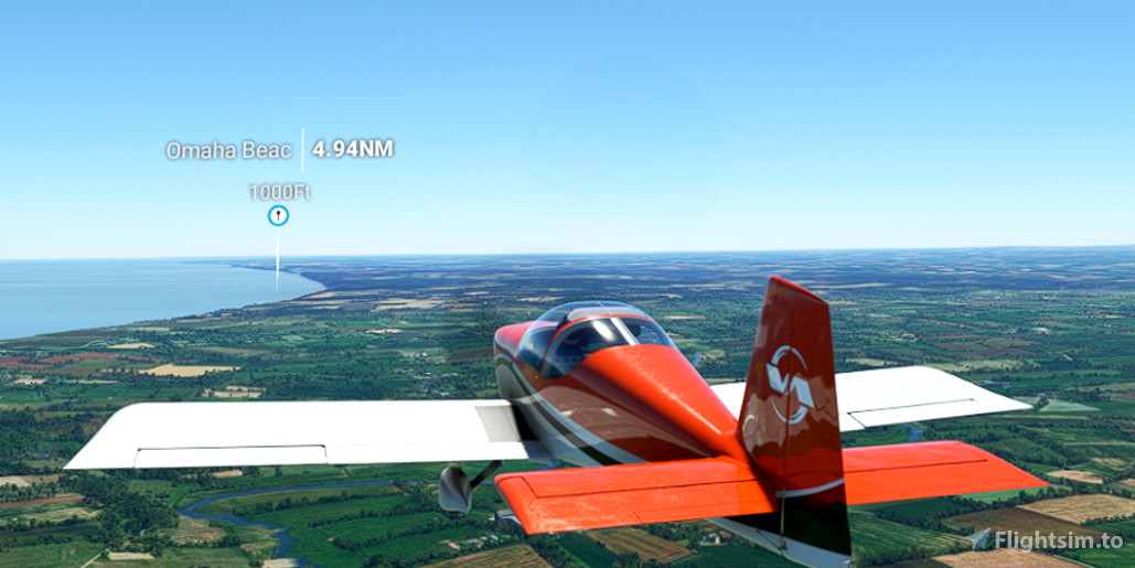
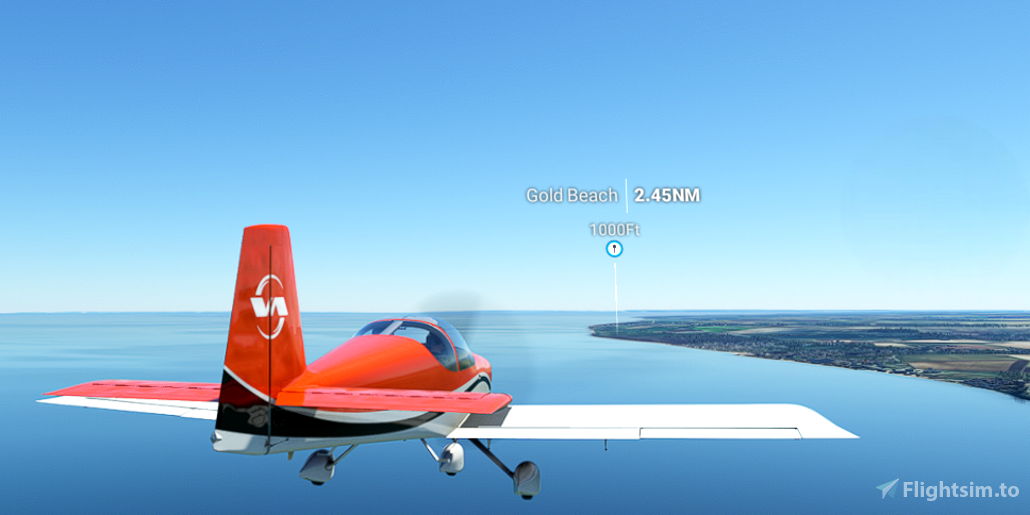
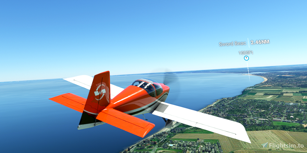
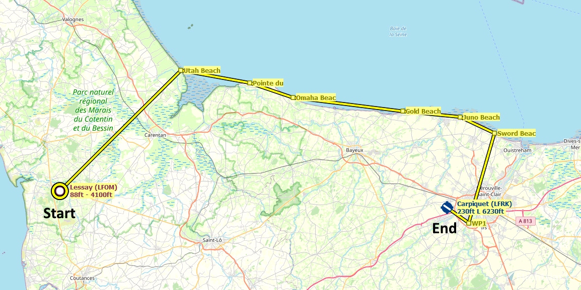
The Allied invasion of Normandy on 6 June 1944 (Operation Neptune) was the largest seaborne invasion in history. 850,279 men were landed. It was the opening act of Operation Overlord, which was liberation of France and ultimately all of western Europe.
Runway that departs in the direction of the flight plan: 06
Distance: 65 miles
IMPORTANT: MSFS visual waypoint markers are optimized for aircraft that fly at altitude, rapidly approaching and passing waypoints. For low, slow sightseeing flight plans, visual waypoint markers are often unreliable and confusing. To reliably see where you are, and where to turn, use the MSFS VFR map. Other moving maps, such as Little Navmap, also work well.
REQUIRED: Turn off AI ATC communications to properly display the visual waypoint markers in this plan:
Options tab > Assistance Options > Piloting > AI Radio Communications (ATC) = Off
REQUIRED: The relevant World Update (region) must be installed to ensure that the desired points of interest are displayed. World Updates are free in the Marketplace:
Welcome tab > Marketplace > search for "World Update"
RECOMMENDED: Turn off City Markers to declutter the screen. Low-altitude waypoints are often lost in the clutter of the city markers.
Options tab > Assistance Options > Points of Interest > City Markers = Off
See the included "README.pdf" file for additional information, tips and moving map instructions.
FederFlyer Short VFR plans are simple, short flights intended for beginner flyers, casual sightseers, ultralights, and occasional flyers who have a limited amount of time.

 FederFlyer

