


Ponta Porã International Airport is an international airport in the municipality of Ponta Porã, in Mato Grosso do Sul. It is located in the south of the state of Mato Grosso do Sul, in the Center-West region of the country.[1]
Sources: Airport Website,[2] ANAC[3] It borders the city of Pedro Juan Caballero in Paraguay, with whom it maintains a strong commercial, social and cultural bond, allowing the two peoples to live peacefully, by maintaining their diversities. cultural. Trade in imports in the neighboring country contributes to leverage the economy of both cities.
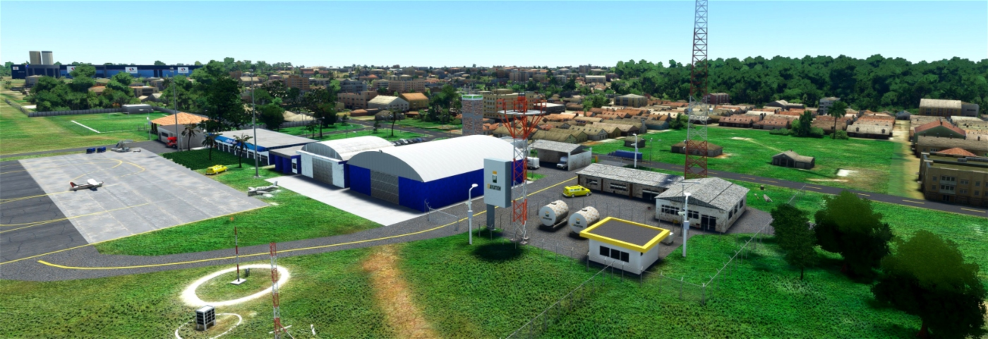
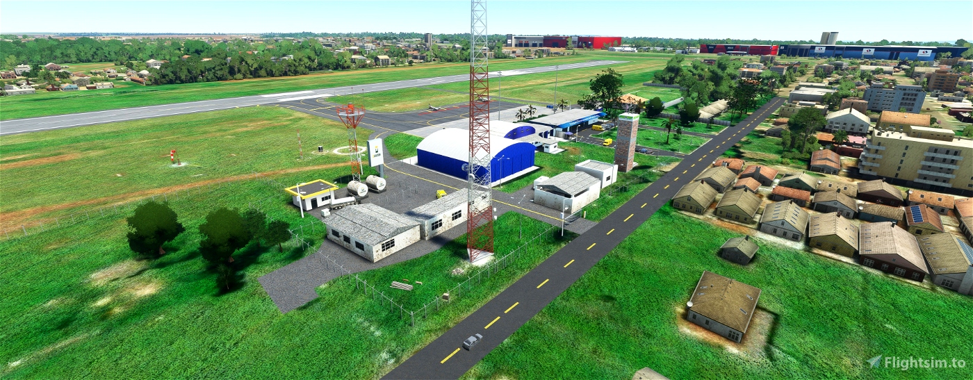
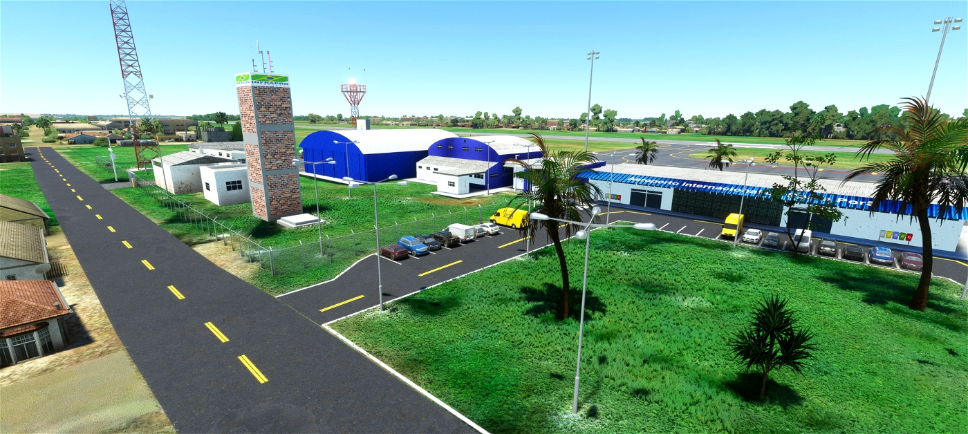
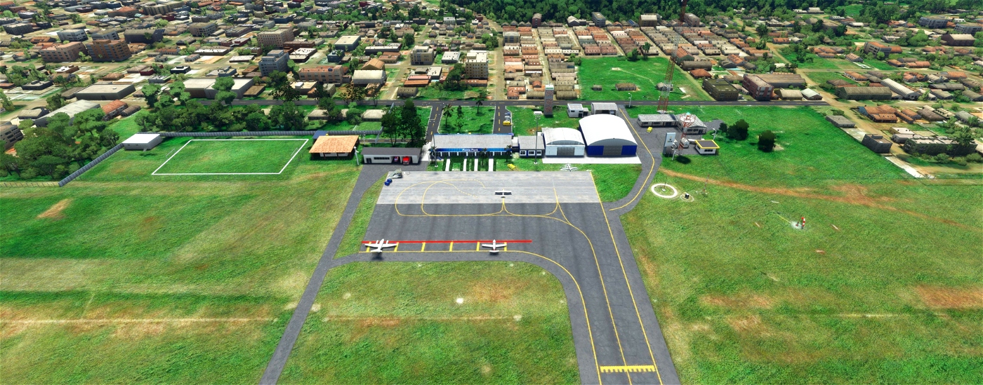
Located at Rua Batista de Azevedo, 770, in the neighborhood of Granja, the airport is strategically positioned 500m from the border line and 4km from the commercial center of the municipalities of Ponta Porã (MS/Brazil) and Pedro Juan Caballero (Department of Amambay/Paraguay). ). The existing job market at the airport is made up of 94 direct jobs. The time zone is UTC -4 (-3DT). It currently only serves non-scheduled aviation
public ip
Infraero Administration
Serves Dourados Microregion
Location Ponta Porã, MS, Brazil
Inauguration March 11, 1955 (66 years old)
Coordinates 22° 32' 59" S 55° 10' 11" W
Altitude 657 m (2 156 ft)
commanders
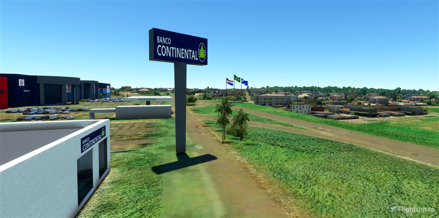
Scenery 100% modeled by me
100% free scenario
Scenario tested and working 100%
texture made in PBR and 4K
Download the file dudu-sbpp-internacionaldepontapora 49.61 MB and Update Littlenavmap Scenery Library
good flights
________________________________________________________________________________________________________________________________________________________
O Aeroporto Internacional de Ponta Porã é um aeroporto internacional no município de Ponta Porã, em Mato Grosso do Sul. Localiza-se no sul do estado de Mato Grosso do Sul, na região Centro-Oeste do país.[1]
Fontes: Portal do Aeroporto,[2] ANAC[3] Faz fronteira com a cidade de Pedro Juan Caballero no Paraguai, com quem mantém um forte vínculo comercial, social e cultural, permitindo que os dois povos vivam pacificamente, mantendo suas diversidades. cultural. O comércio de importações no país vizinho contribui para alavancar a economia das duas cidades.
Localizado na Rua Batista de Azevedo, 770, no bairro da Granja, o aeroporto está estrategicamente posicionado a 500m da linha de fronteira e a 4km do centro comercial dos municípios de Ponta Porã (MS/Brasil) e Pedro Juan Caballero (Departamento de Amambay /Paraguai). ). O mercado de trabalho existente no aeroporto é composto por 94 empregos diretos. O fuso horário é UTC -4 (-3DT). Atualmente atende apenas aviação não regular
IP Público
Administração da Infraero
Atende a Microrregião de Dourados
Localização Ponta Porã, MS, Brasil
Inauguração 11 de março de 1955 (66 anos)
Coordenadas 22° 32' 59" S 55° 10' 11" W
Altitude 657 m (2 156 pés)
comandantes
Cenário 100% modelado por mim
cenário 100% gratuito
Cenário testado e funcionando 100%
textura feita em PBR e 4K
Baixe o arquivo dudu-sbpp-internacionaldepontapora 49,61 MB e atualize a Biblioteca de Cenários Littlenavmap
bons voos

Considere fazer SBAU, é o unico aeroporto do interior de Sp que ainda não possui cenario, trata-se de um aeroporto regional de extrema importancia.
2 years ago
Jotace
Great scenery! Would you like to do the scenario of Luis Eduardo Magalhães (SWNB) is considered the capital of the agricultural frontier MATOPIBA and is also known as the capital of agribusiness
2 years ago
Miguel_Doblinski
I already had this, but this is version 1.0?
2 years ago
2 years ago
dudulimavasc
newtestleper