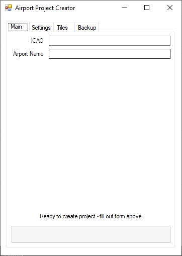
This is a streamlining of the creation of airport project files with photo-imagery overlays based on the PDF How to Create Customer Aerial Scenery in MSFS by Augustin Winther v1.1. It uses the methodologies and tools as outlined in his wonderful guide and simply automates as much of the process as possible. It creates 2 project folders - one for the aerial imagery, another for the airport itself and walks you through using the various tools in creating scenery for MSFS.
*If you cannot see the airport aerial imagery in MSFS (the menu yes, the game no), disable photogrammetry as the photogrammetry seems to override the aerial imagery*
Reviews
Non ci sono ancora recensioni.
Comments
Piuttosto vuoto qui.

Great idea, but ultimately didn't work for me, unfortunately. Last step, compiling the project. "Failed to update all timestamps for files used in a command". Then a metric ton of "Output path does not exist" errors with the same path, over and over.
I assume its something with my setup or something I did. But all that work to go through the steps to have it fail at the end was disappointing.
The tool itself is simple but very effective, the help steps well done and easy enough to follow.
2 years ago
what was the path? were there files located in the path that you may have put in the wrong folders?
2 years ago
fvapres
BirdmanRS