


Fly the SR-22 in a dangerous evening arrival to a fictitious island airport called Watopia.
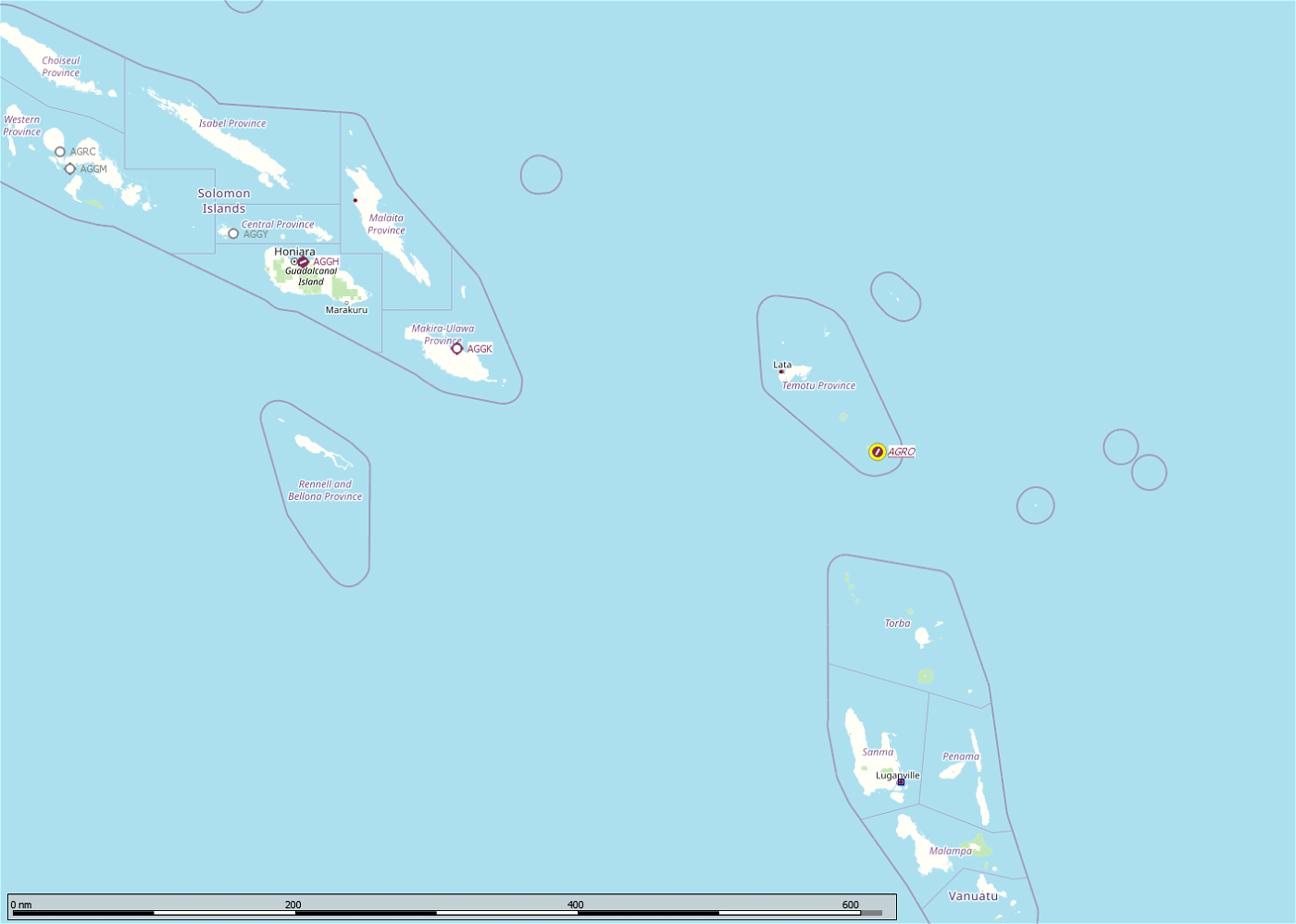
ICAO Code: AGRO (only in sim)
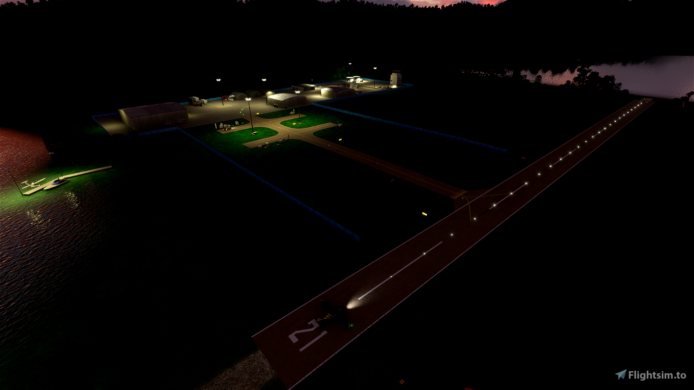
Runways: 03 - 21
Surface: "GroundSoil3" (with clay overruns at each end)
Dimensions: 1,375' x 50′ (419m x 15.24m)
Global Coordinates: -11.664198, 166.936669
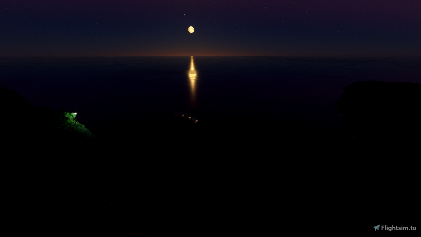
Welcome to the Solomon Islands. It's May 27th, 2021 at 18:22 and you're just arriving inbound from your 87 nm leg from AGGL. Yes, that means you are arriving by the light of the moon (and some at the airport of course). You are in the beautiful Cirrus SR-22 and flying level at 1,500'.
You'll start 10 nm NW of the airport where you can easily make out the shores of the island of Banie. Continue on until Mount Banie fills the windscreen, skim the tree tops just to the right of the peak until you get into the valley, from there you will make a turn for the airport. We'd recommend you fly this route during the daylight hours a few times before trying the evening approach. That is unless you want to bend up your shiny SR-22.
Be mindful, if you need to go around the island of Teanu has hilly terrain as well so it's best to stay over the water.
Known Issues:
n/a


HOLY CR4P THAT APPROACH!
Seriously well done! Love it! Thanks for your work!
3 years ago
LOL. Glad you made it down safely.
3 years ago
YYCAviator
Novawing24
3 years ago
Hope you enjoy it. Fly safe.
3 years ago
YYCAviator
CaptJohnCoPPickles