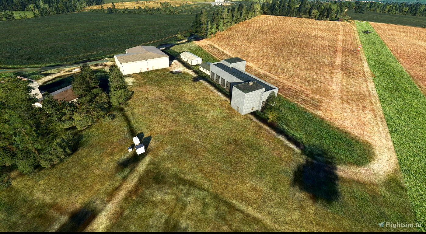
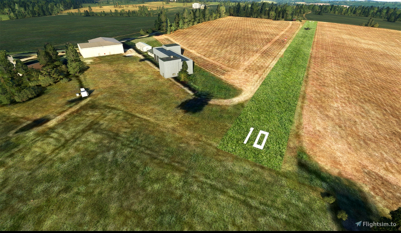
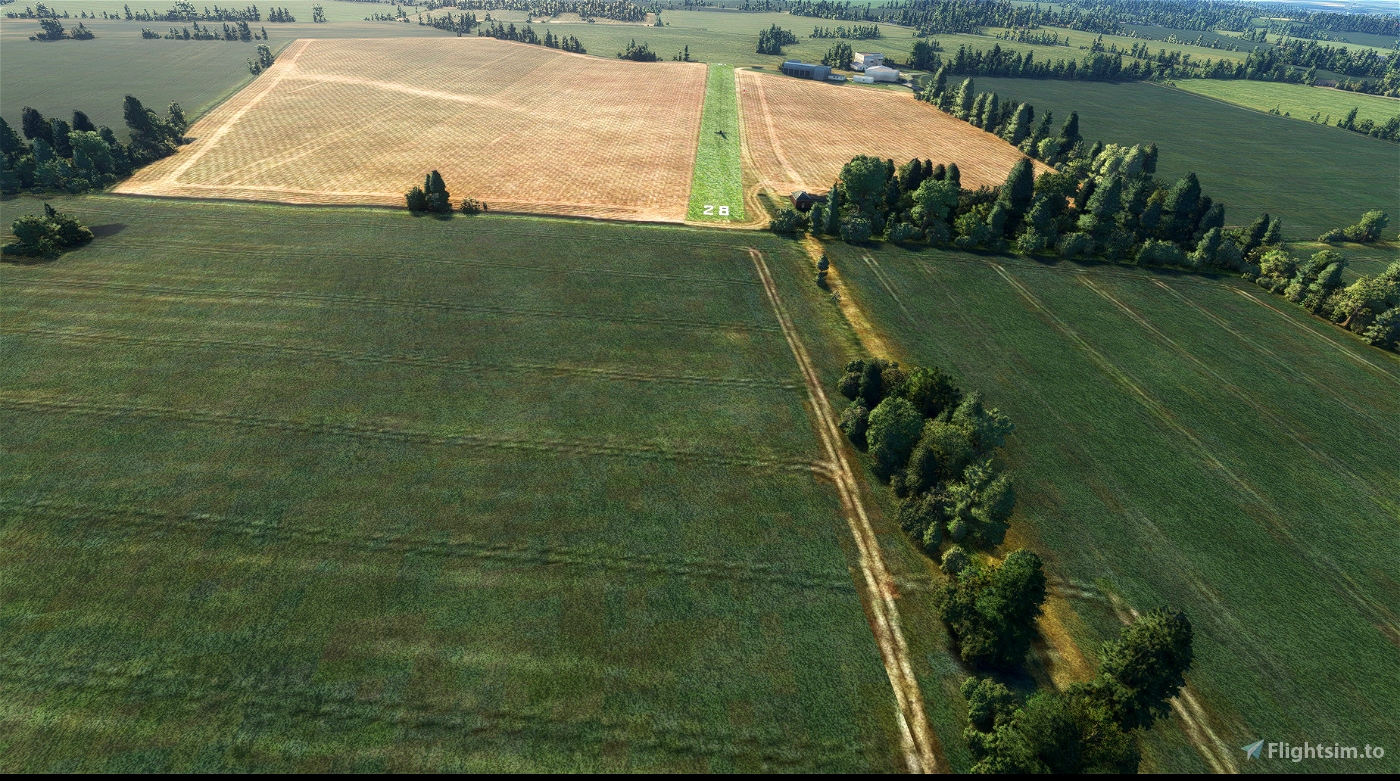
Broadmeadow Farm Airstrip is a small airport in England, United Kingdom. The airport is located at latitude 52.02580 and longitude -2.76321. The ICAO airport code of this field is GB-0459. Nearby other airfields are Allensmore Airfield, Hereford, Bycross Farm Airstrip, Llangarron Private Airstrip and Woonton Airstrip.
Broadmeadow Farm Airstrip does not publish a METAR, the nearest weather station is Gloucestershire Airport, which is 43 km away.

todorokipm
Premio
also.... The file you created is Broadmeadow airfield, while the file dowloaded is EGJU Belmont. Which one is correct finally ?
icecoldref
Premio author
its broadmeadow farm strip because of the software that asbo uses it generates its own ICAO most of the questions your asking you can google it to find out and the reason it says Belmont is because the airstrip is in belmont i know this because i live less than 2 miles from the airstrip
1 years ago
todorokipm
Premio
Why don't you input correcty the GPS location on the right place in the information file ? Also for scout mountain, no information where it is located. Thanks for correcting it
icecoldref
Premio author
it is in the right place like i said in the last comment a simplee google search will get you that information. if your trying to say that the airfield is in the wrong place then you are wrong every airport that hasn't been made has been done via a couple of lines of coding and from the satellite images from bing
1 years ago